The Map
Hover a marker for the stage, click it to jump to that stage — zoom in for detail.
↑ Map Route data from the Komoot collection · Map © OpenStreetMap contributors
The Stages
Prologue and 24 stages from the source to the sea. Every stage as a Komoot tour.
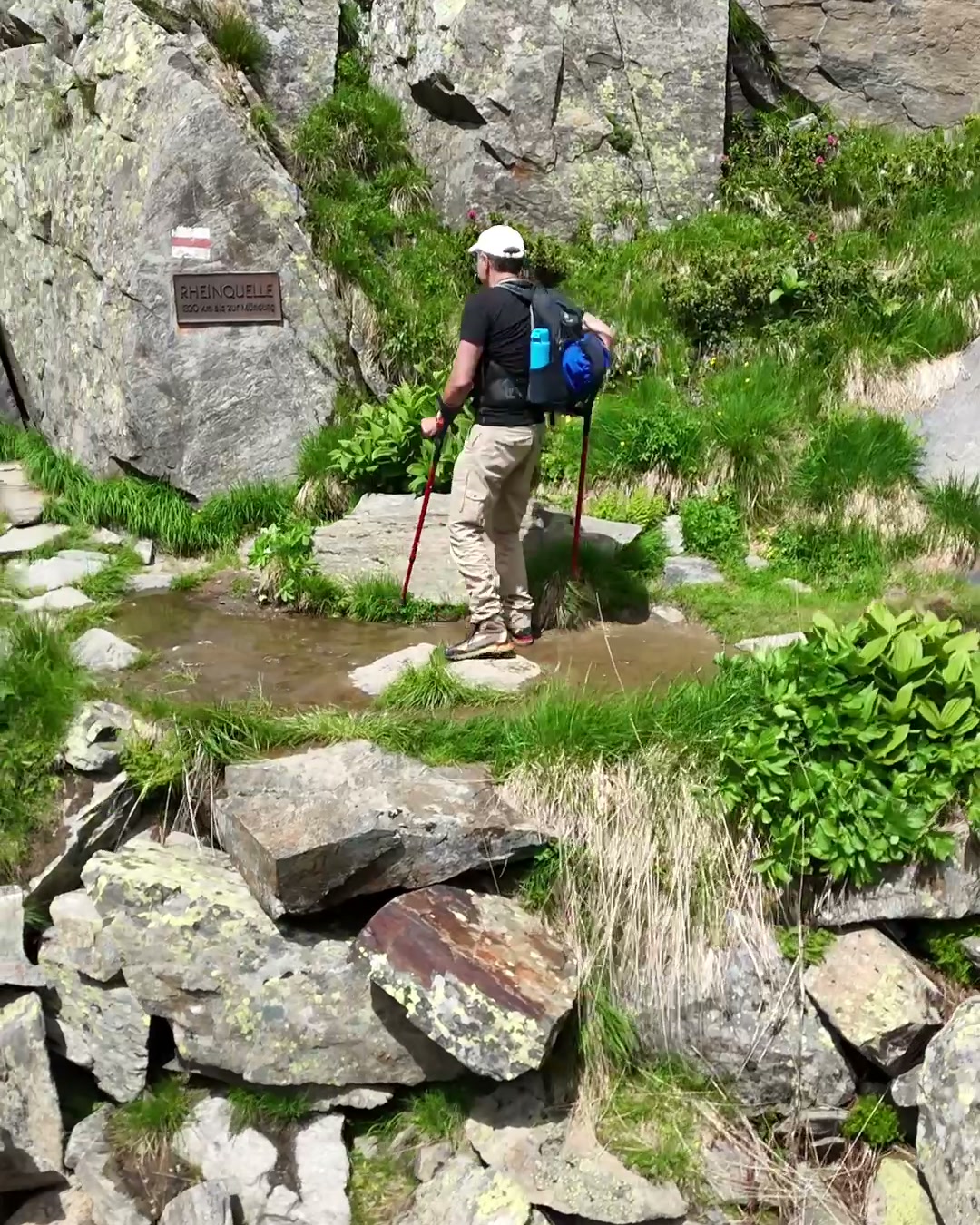
Stage 00
Source: Lai da Toma
9 km440 m up
Stage 01
Hospental – Disentis
34 km630 m up
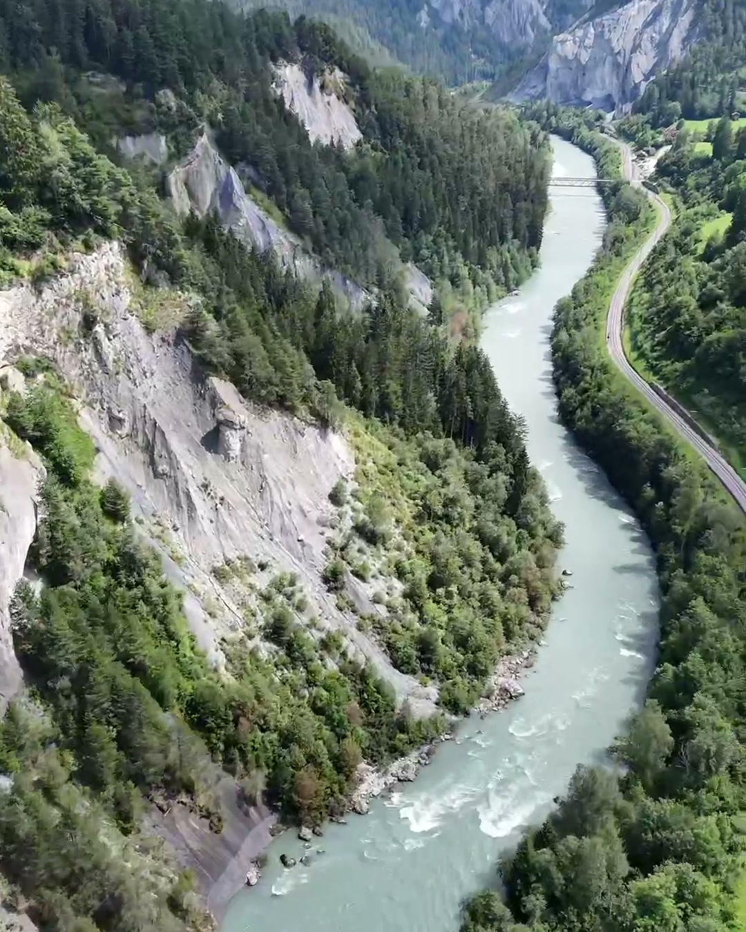
Stage 02
Disentis – Chur
70 km820 m up
Stage 03
Chur – Schaan-Vaduz
46 km180 m up
Stage 04
Schaan-Vaduz – Rorschach
71 km130 m up
Stage 05
Rorschach – Kreuzlingen
37 km90 m up
Stage 06
Kreuzlingen – Schaffhausen
53 km260 m up
Stage 07
Schaffhausen – Albbruck
70 km420 m up
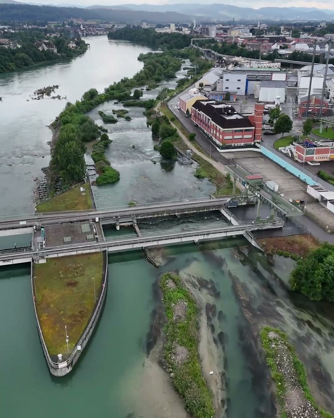
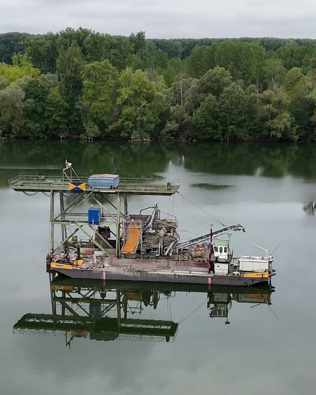
Stage 08
Albbruck – Basel
57 km260 m up
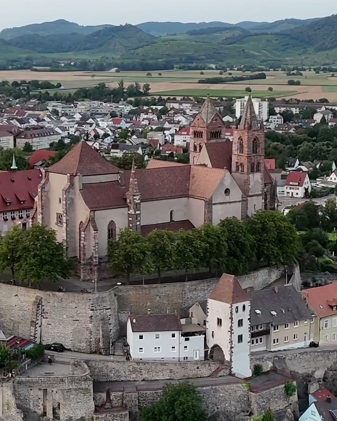
Stage 09
Basel – Breisach
67 km90 m up
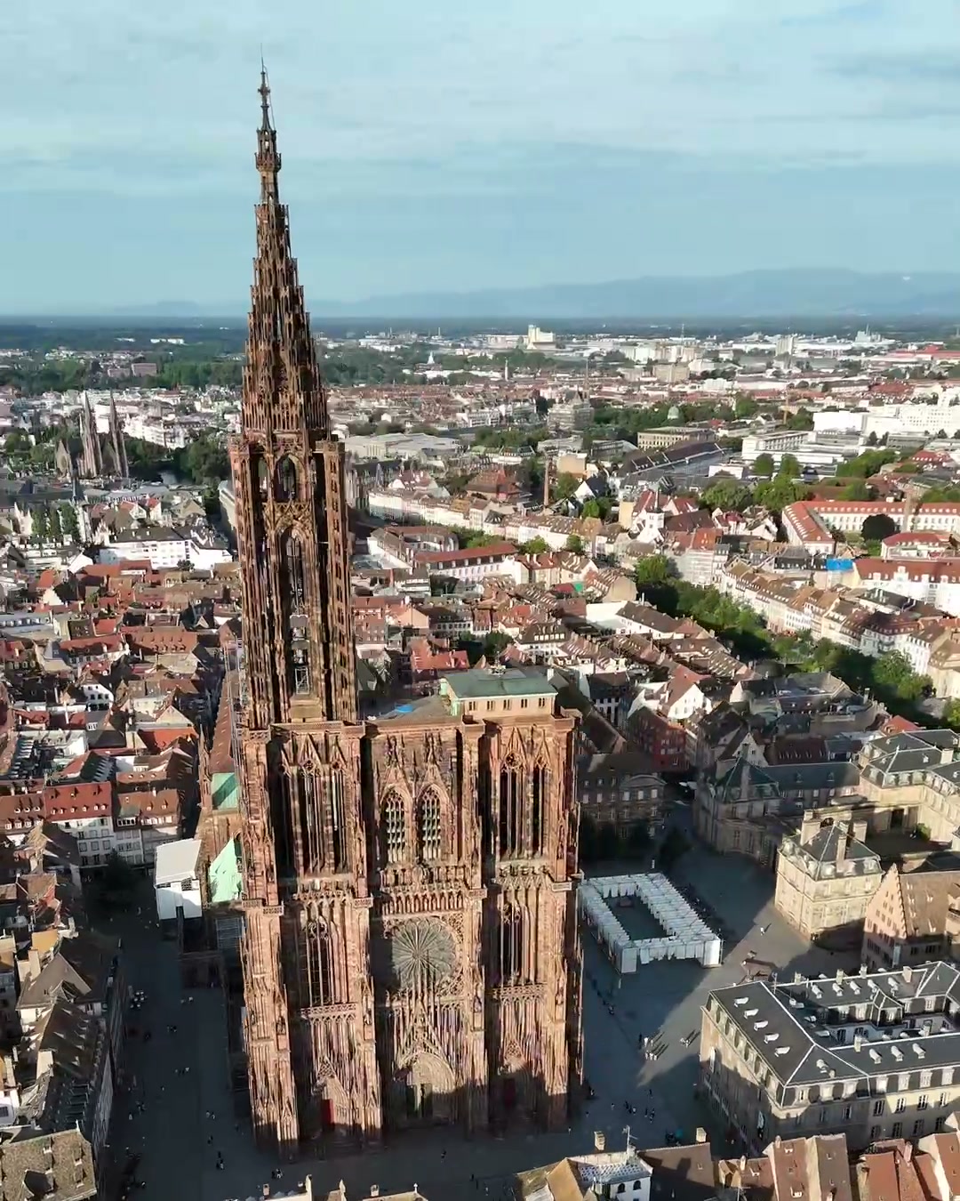
Stage 10
Breisach – Kehl
80 km90 m up
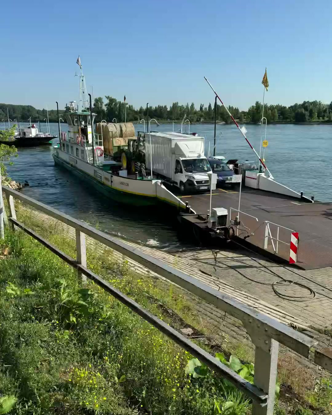
Stage 11
Kehl – Wörth am Rhein
82 km70 m up
Stage 12
Wörth – Mannheim
79 km130 m up
Stage 13
Mannheim – Oppenheim
80 km120 m up
Stage 14
Oppenheim – Bacharach
74 km250 m up
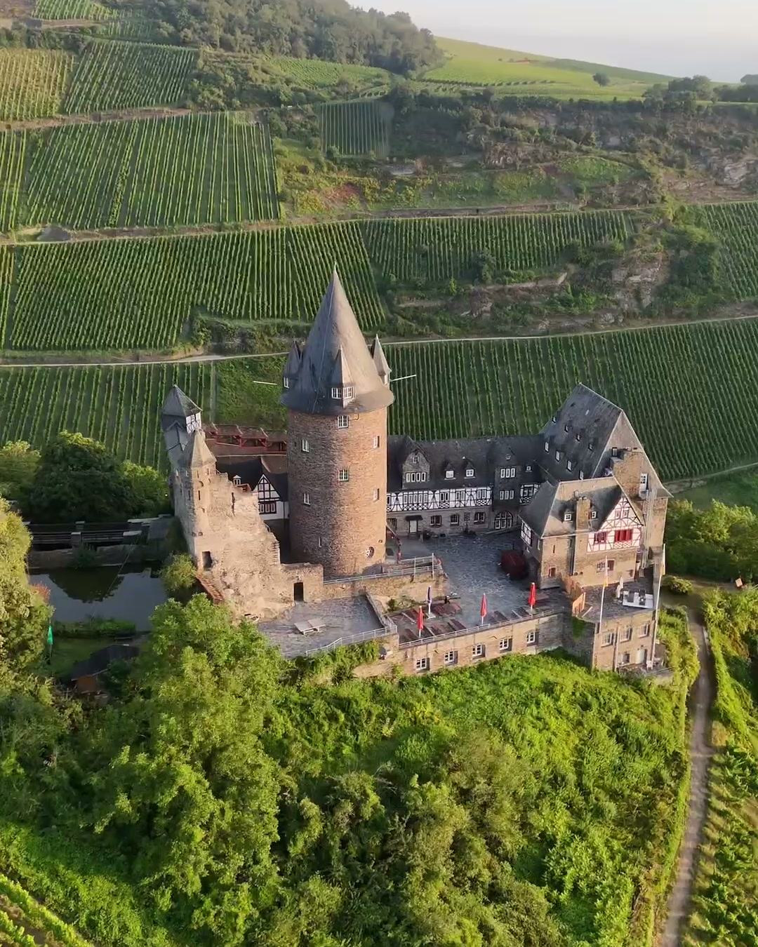
Stage 15
Bacharach – Koblenz
54 km310 m up
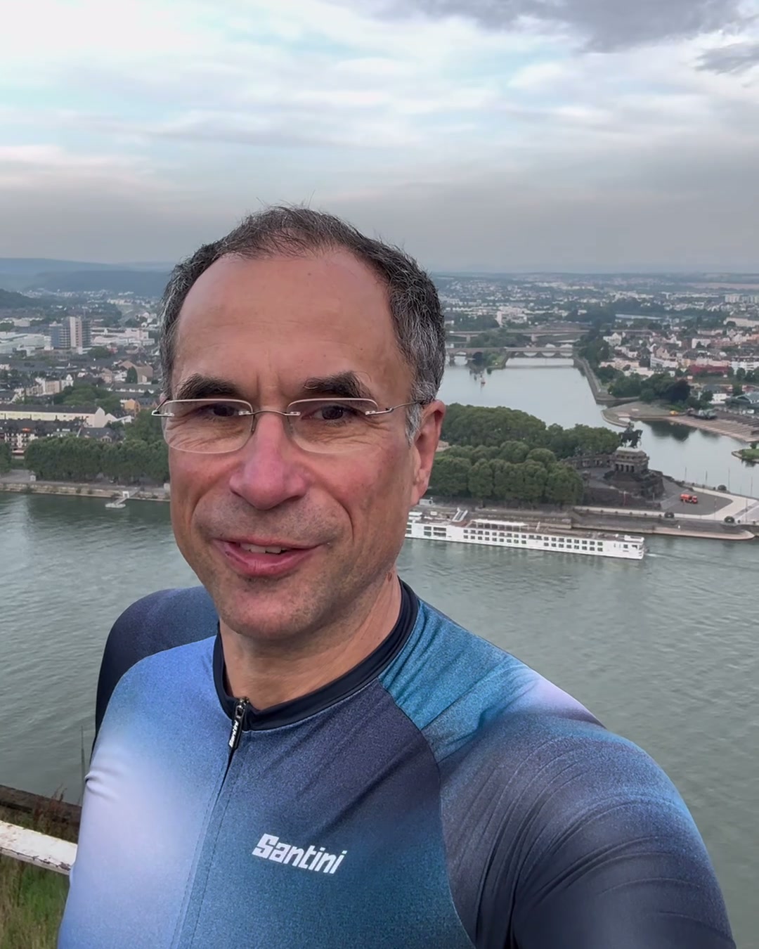
Stage 16
Koblenz – Bonn
72 km320 m up
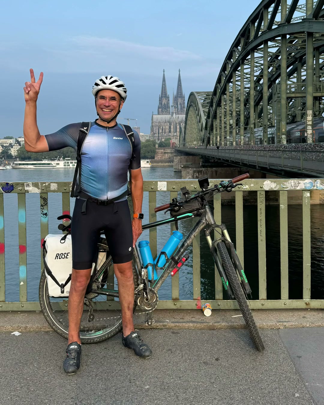
Stage 17
Bonn – Cologne
43 km100 m up
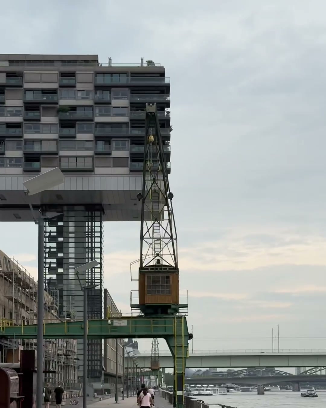
Stage 18
Cologne – Duisburg
91 km190 m up
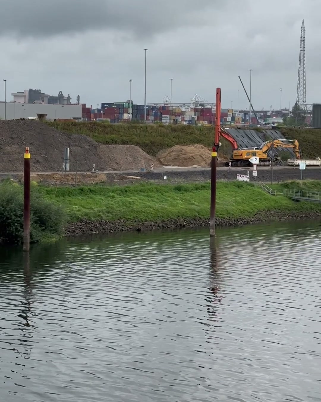
Stage 19
Duisburg – Xanten
61 km110 m up
Stage 20
Xanten – Arnhem
66 km130 m up
Stage 21
Arnhem – Geldermalsen
72 km160 m up
Stage 22
Geldermalsen – Dordrecht
76 km80 m up
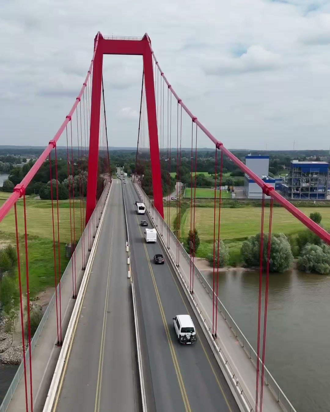
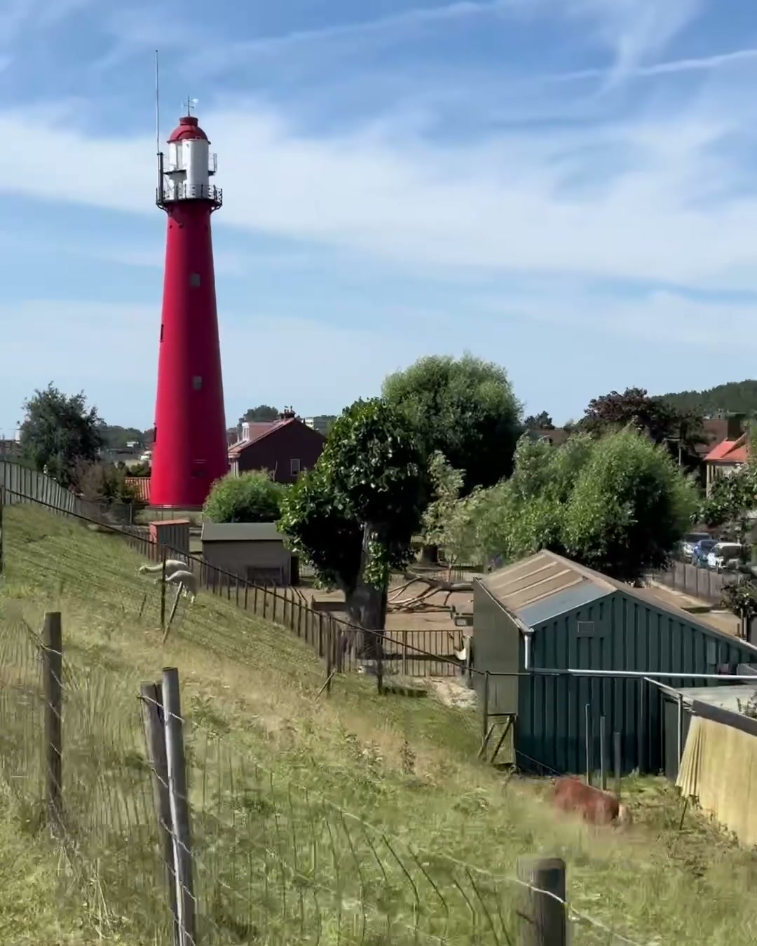
Stage 23
Dordrecht – Hoek van Holland
79 km120 m up
Stage 24
Hoek van Holland – North Sea
4 km10 m up
The Story
Why this route?
The Rhine was the most obvious long line. It rises in the Swiss Alps and ends in the sea. From the source to the mouth, through four countries — and through Basel, right past home.
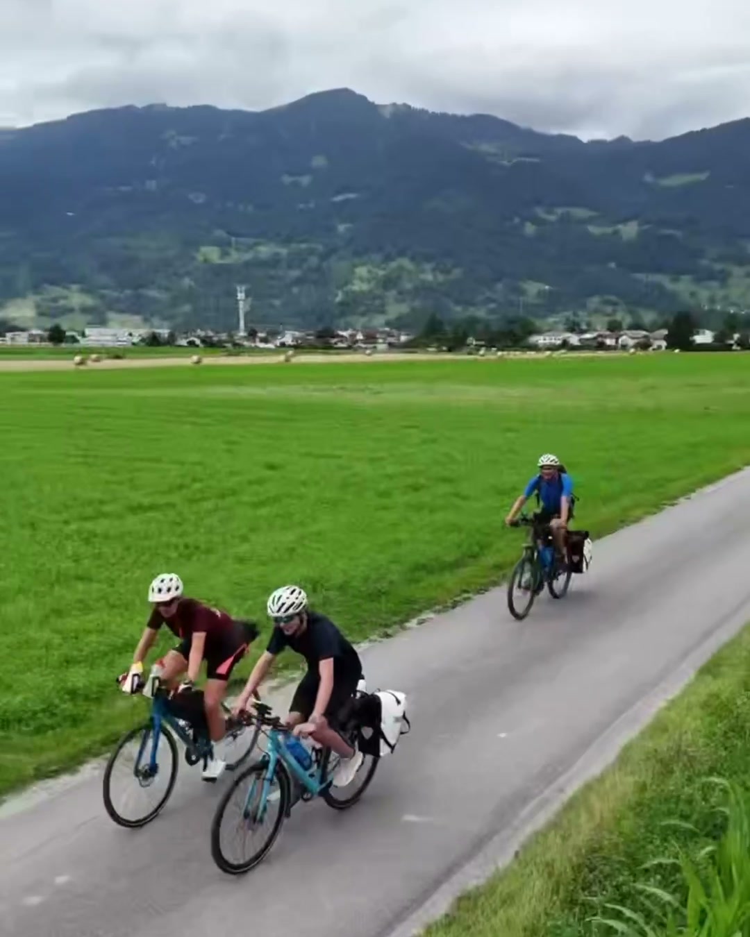
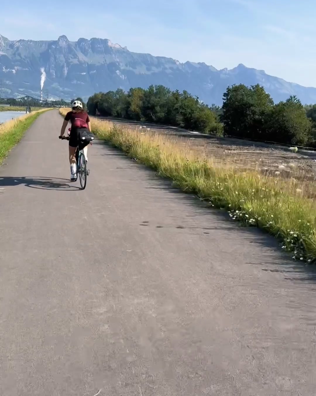
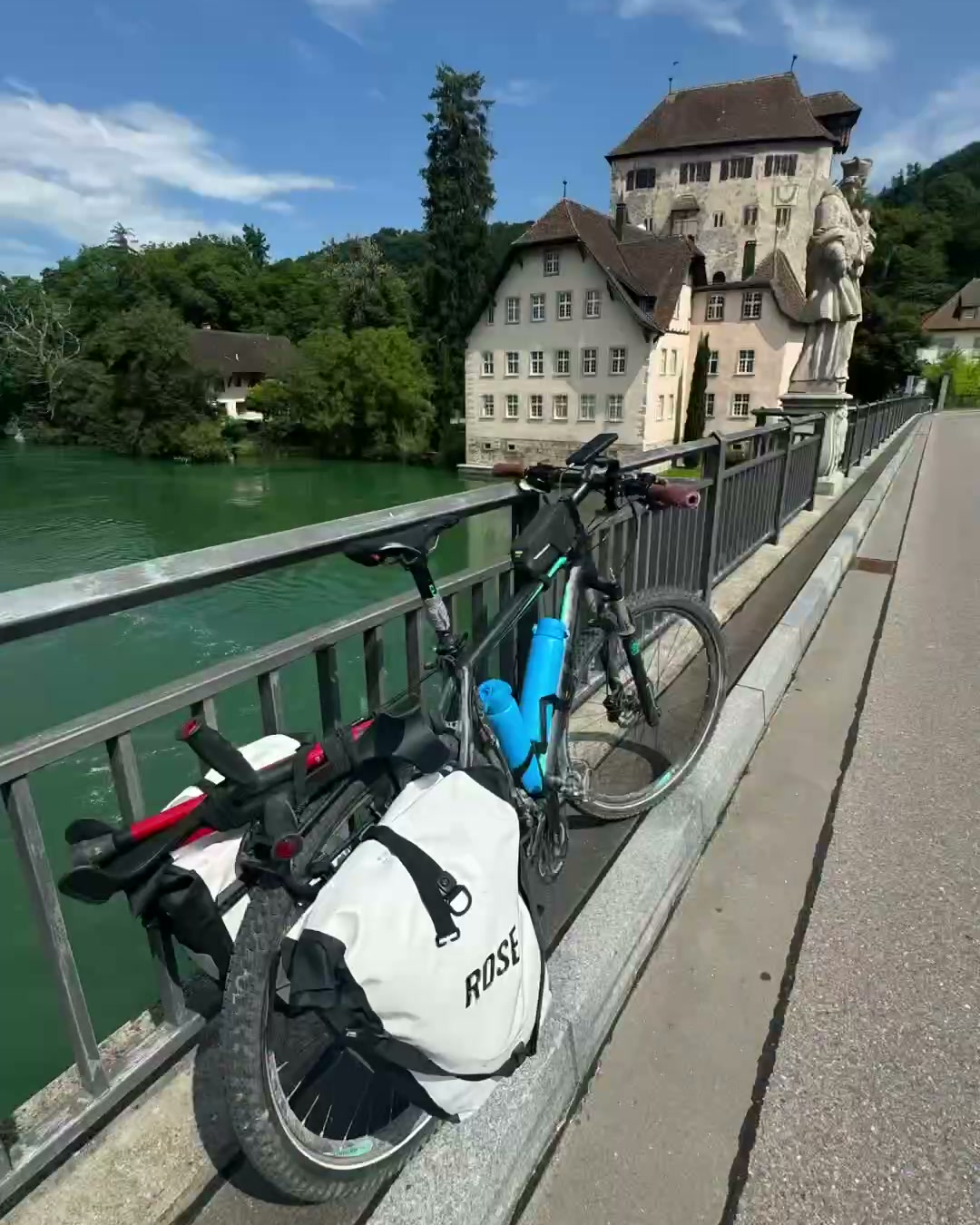
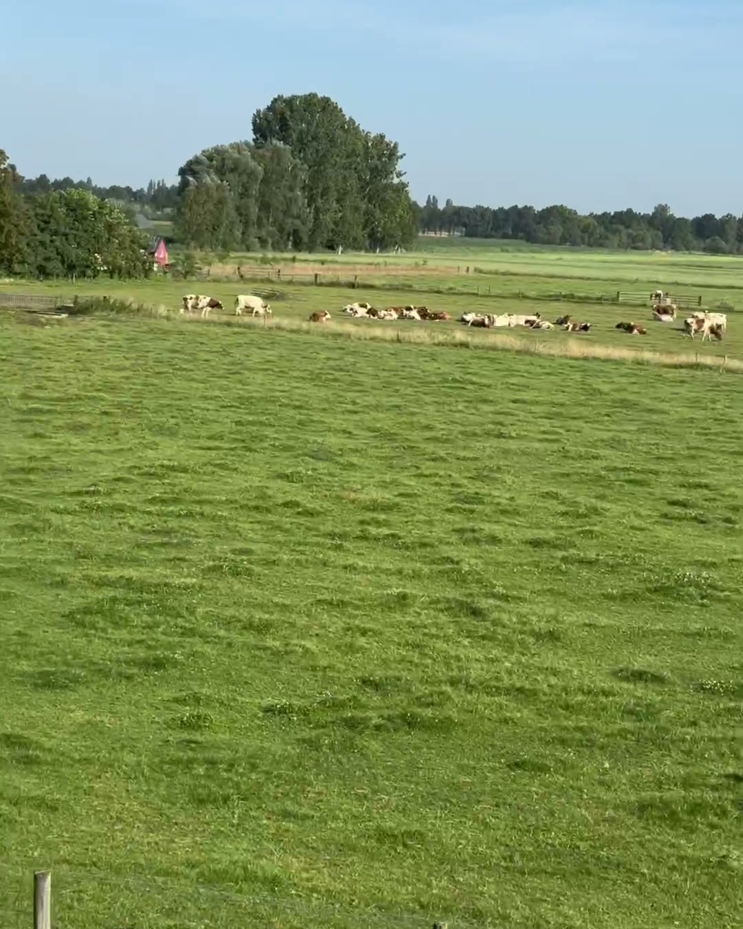
The core of the experience
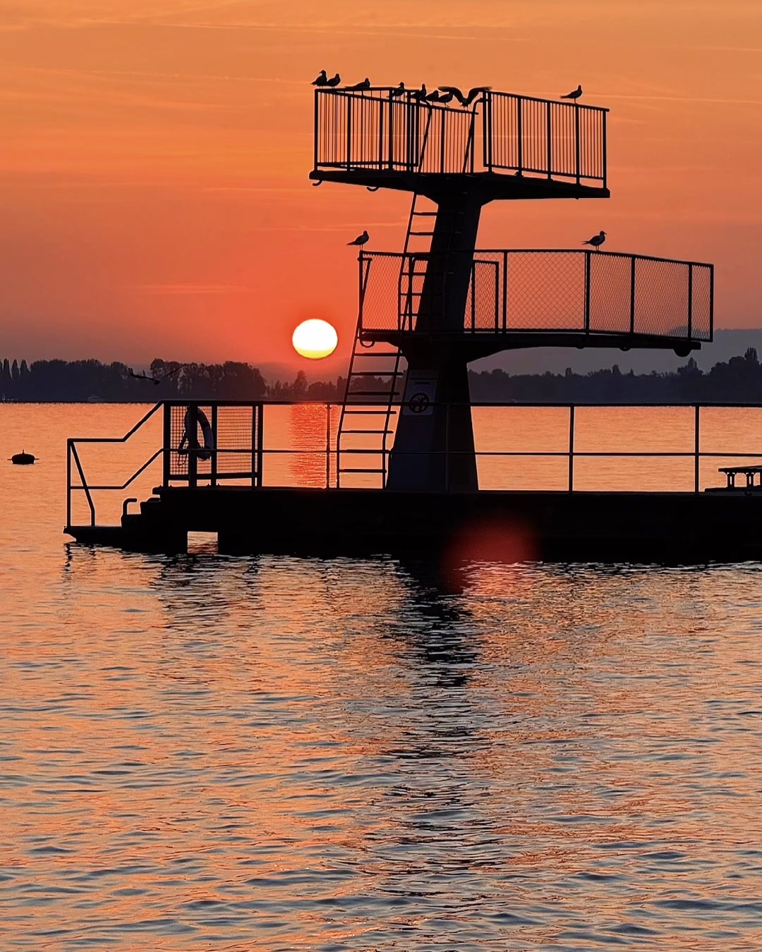
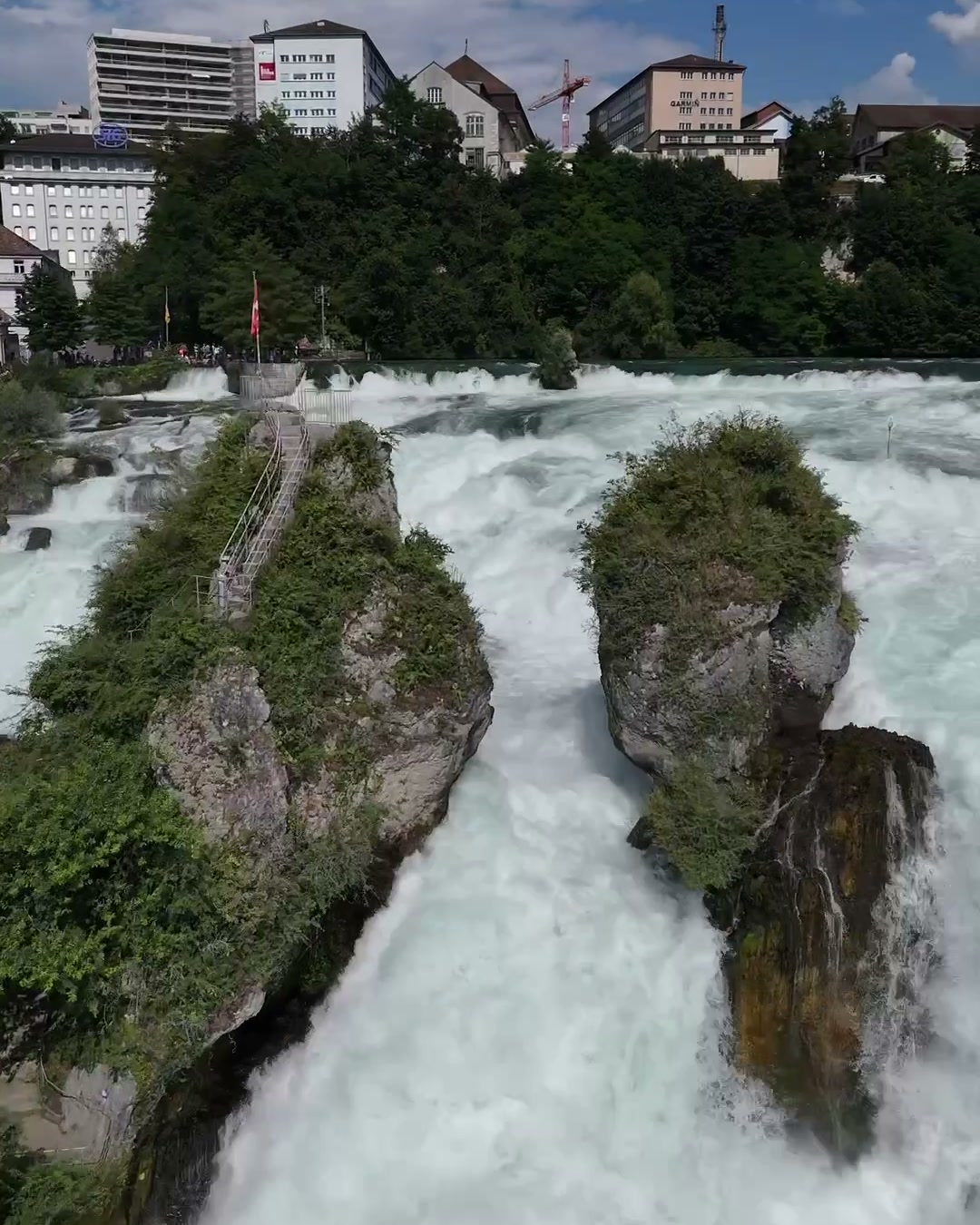
A river that keeps changing: from the high mountains at the Oberalp past Lake Constance, the Rhine Falls and the Loreley into the flat delta. And a rhythm of stages and youth hostels. Together, as a family.
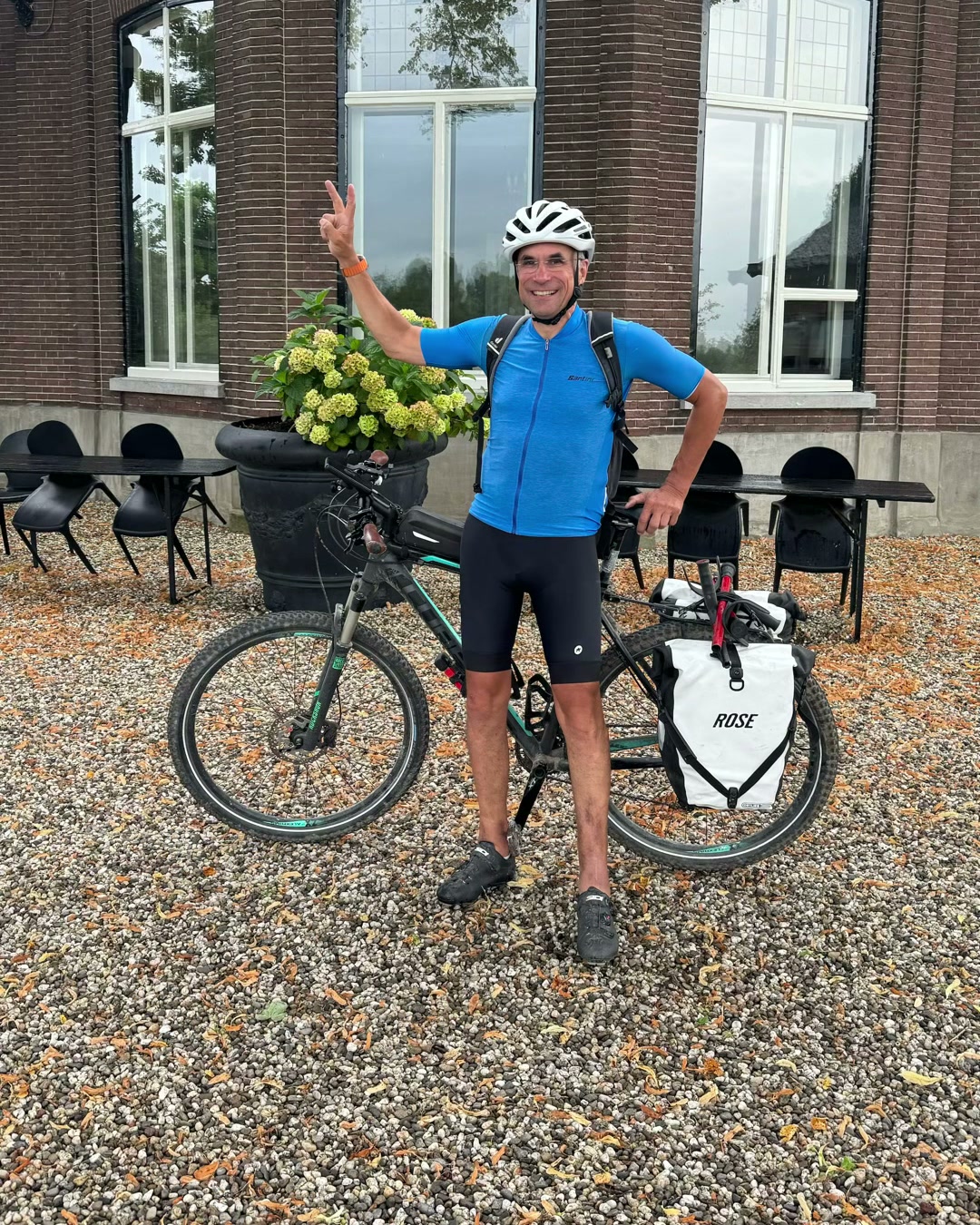
What it means for recovery
The first big line after the rebuild, in 2024. Controlled endurance, day after day. A route makes progress visible.
Learning
Commitment
Long lines create commitment.
Family
Family turns endurance into memory.
Visibility
Progress becomes visible when it has a route.
If this resonates, get in touch.